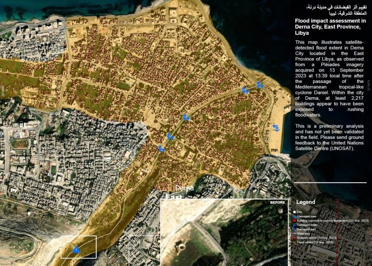
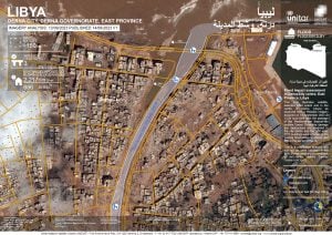
Disasters Charter yesterday released satellite images/maps to estimate the extent and damage of flooding in the city of Derna caused by Storm Daniel. The maps were commissioned by the UN Institute for Training and Research (UNITAR) on behalf of United Nations Office for the Coordination of Humanitarian Affairs (OCHA) / Join Environment Unit.
They cover an analysed area of 1,200 hectares around the seasonal Derna River valley and an area of 330 hectares of flood area.
The report says at least 2,217 buildings within the city of Derna were exposed to rushing floodwater and three bridges were destroyed. The Libyan government says a total of 10 bridges were destroyed which cut off east and west Derna across the river valley.
The report acknowledges that this is a preliminary analysis that needs feedback from those on the ground.
More than 5,300 dead and 10,000 missing in Derna disaster (libyaherald.com)
More than 2,000 dead and thousands missing after Storm Daniel hit eastern Libya (libyaherald.com)
Libya hit by storm Daniel with eastern region suffering worse damage (libyaherald.com)


